12.15
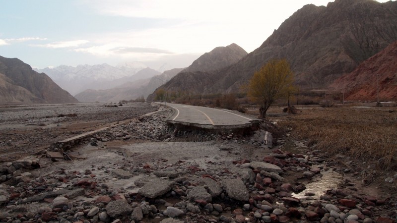
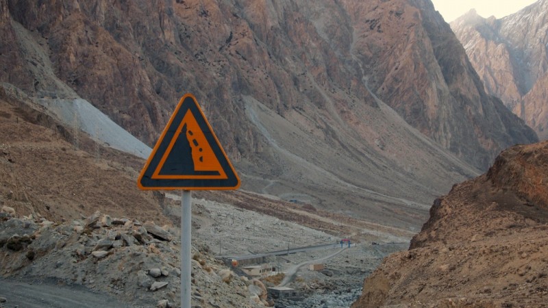
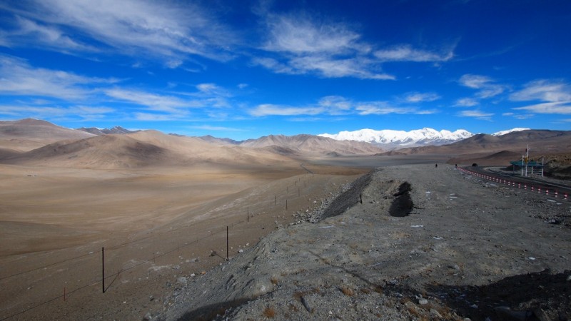
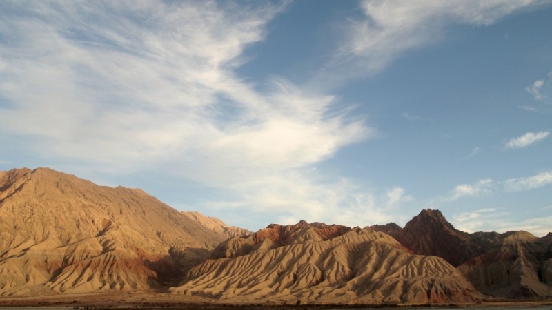
The way to Pakistan crosses the highest mountain range in the world, a terrain of inhospitable nature that seems not to like having a road.
It’s estimated that during the road construction a Chinese builder died every three kilometres.
This road is 1284 kilometres. It was started in 1960 as a plan from china to strengthen its relations with Pakistan. It was finished in 1982.
Pakistan sounds appealing to me but I dismissed it on my itinerary, I don’t think it’s the best moment to go. I’ll leave it as a pending branch of the silk road for the time the situation get’s stable.
In Kashgar there are a lot of people in the hostels going and coming from Pakistan as Kashgar is the start point of the road.
In Kashgar I’ve joined two French with rastas and a bit of a lost British to do a little part of this road of awesome landscapes. The title talks about Pakistan, but it’s just an easy resource to catch your attention, however I’m not lying, I’m going towards Pakistan but not getting in.
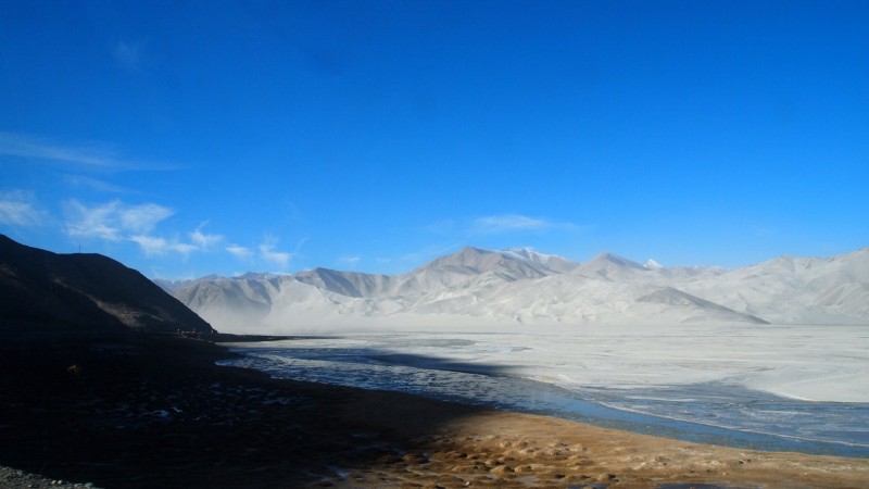
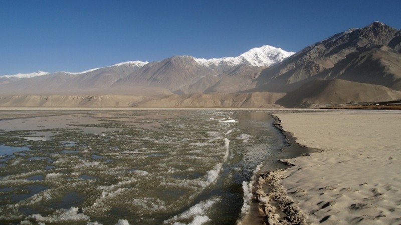
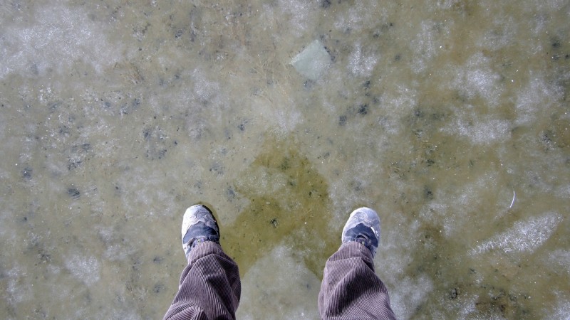
Guez River or Guez Darya in Uygur. “Darya” was the word for river in Turkmenistan also. It carries frozen water that accumulates in stretches forming lines.
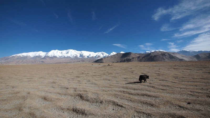
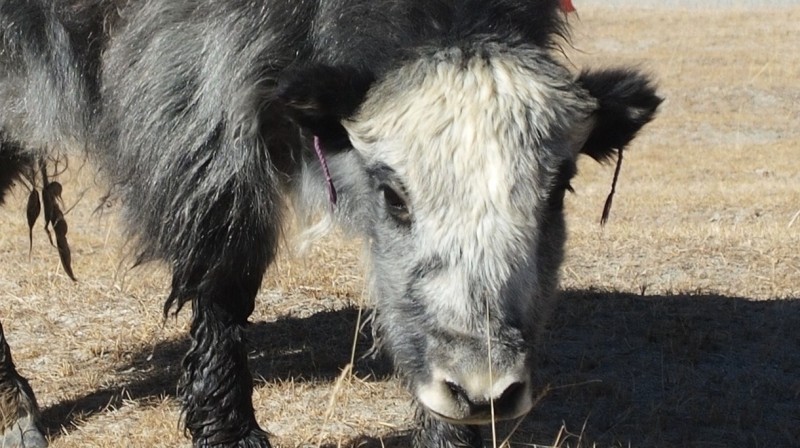
Yaks eating what’s left in the summer pastures
The route was not invented in 1960, it’s been here many centuries and may caravans have used it during centuries as it is a branch of the silk road that goes to the Indus, Gylgit and Hunza valleys.
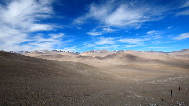
I´m at 4000 meters. We tell the taxi driver to wait for us down the road while we go down having a walk. We have to walk slowly or the height tires you in a few steps. The brains seems to float inside the head, high altitude has to be horrible.
I´ve never been at such an altitude and I couldn´t imagine I´d be this high coming in a taxi.
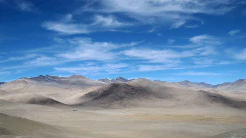
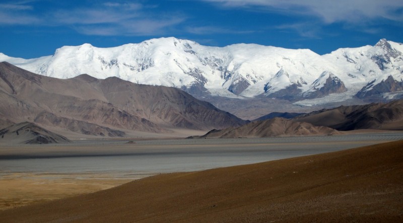
Sky has a clear colour due to the 4000 less meters of atmosphere that the light don´t have to go through.
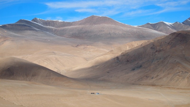
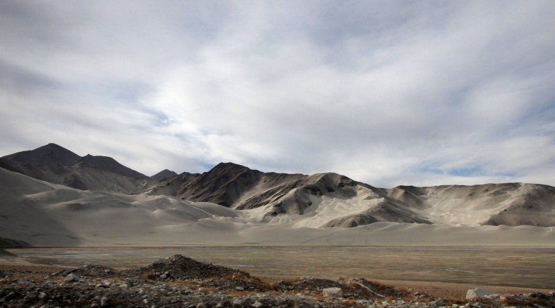
Endless lands that make you feel small, tiny, minuscule, insignificant, and I love that feeling.
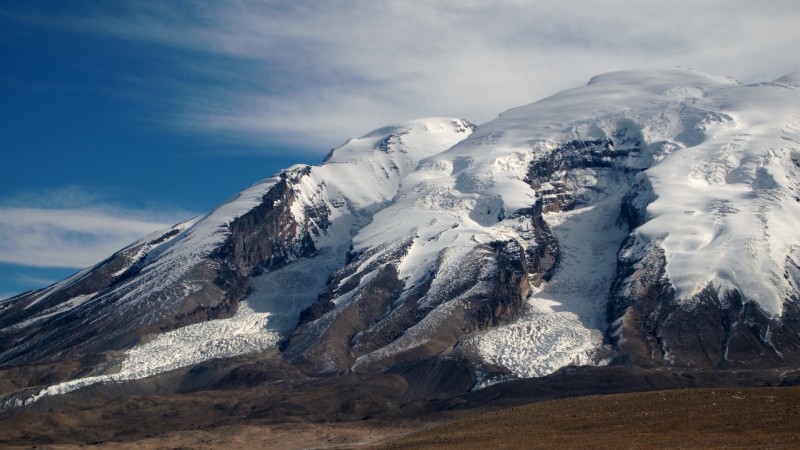
Little glaciers.
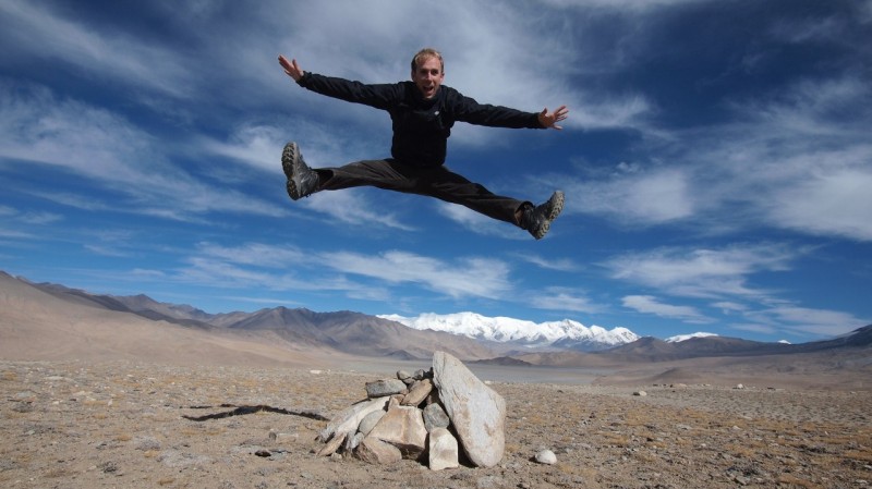
The French were very restless, were all the time doing silly things in the pictures, and I was infected.
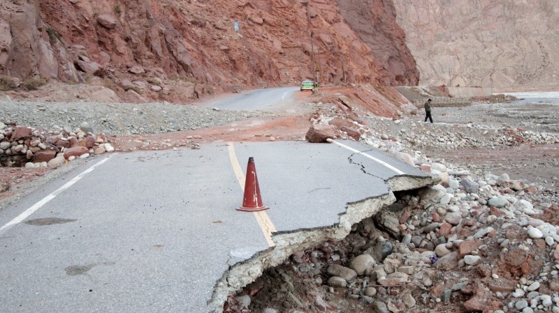
The road has a permanent maintenance as the land is white. China is building a tunnel system on the side mountains to channel the water and avoid flash floods that destroy the road.
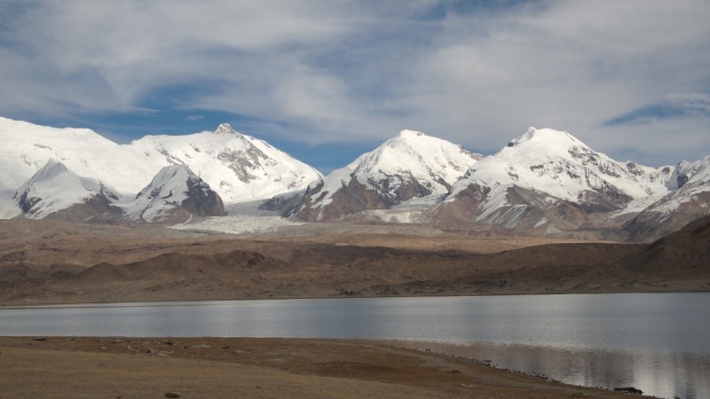
The Karakul Lake, at 3500 meters high. More glaciar tongues on the back.
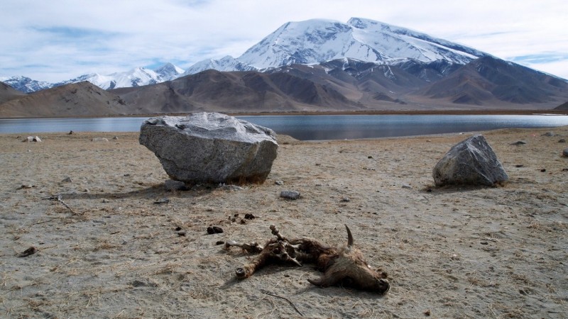
A difficult place to live.
Over the Ice. The “moon walk” is much easier.
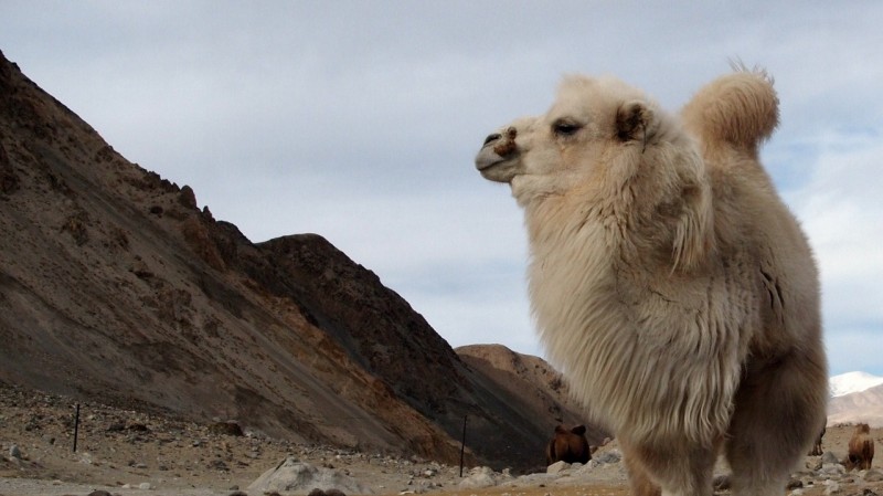
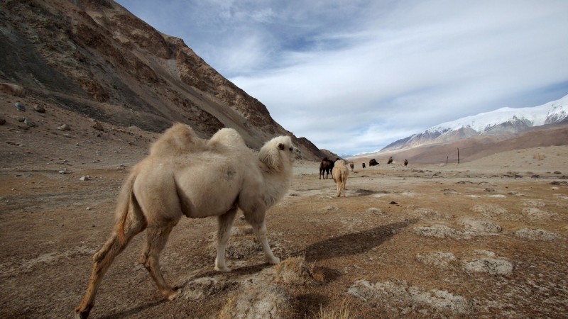
Cactrian camel. On the way we’ve gone by several passport controls, we go pararell to the Tajik border.
Now they are used for food and for their skins. Before they used to do this route loaded with goods and the way was hard, the mountain pass to Pakistan is 4722 meter high. It’s called Khunjerab that means “Valley of Blood” for the amount of bandits that used to assault caravans.
One time we went down to take pictures a mane came from nowhere. He threw a carpet full of handicrafts to the ground and said “small bazaar”. Seems nobody can live here.
These mountains of Karakorum and Himalayas are the youngest in the world. They keep growing, pushing up with the vigour of the relative youth of 55 million years.
We go back to Kashgar. The super pure mountain air has recharged my energy and tomorrow I’m leaving towards the Taklamakan desert.
Soon more.
Fernando

Muy chulas las fotos
Maravillosas las fotos. Qué cielo. Me hago una pequeña idea de cómo te has sentido
What a place. Like primordial Earth. Fantastic!
Hola!!! Simplemente espectacular
Tengo pensado yo hacer algo por el estilo. Un viaje por Asia central que incluya la Carretere del KK. Así que aprovecho tu blog para hacerte unas preguntas. A la hora de recorrer la KKH como te lo montaste? Quiero decir : lo hiciste en coche? en autobus? tenías un coche de alquiler? ibas con conductor?
Te agradecería mucho si me pudieras dar estas informaciones
Un saludo
Marco